I thought I'd share one of my most favorite hikes on this blog, which is the Rocky Ridge trail in Garrpata State Park, commonly known as Soberanes. The hike is relatively short, but very challenging, and i hike it about 2-3 times a week. It's been great for training for the PTC. If I ever feel depressed, hung over, happy, whatever, I hike it and I feel great.


 It was insanely windy today, and I knew this would play a major part in my hike, so I grabbed a wind shirt and gloves and started in the early evening so I could watch the sunset on my way back down.
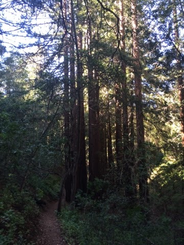
This trail is legendary around here because of its beauty, and the steepness of the trail. Once you gain the first ridge, the trail gets so steep, for so long that many people, mostly tourists, are defeated early on and call it day, returning to their cars. On the way up, I always enjoy the wildflowers; Poppy's, morning glory, Indian Paintbrush, Lupine, and especially sagebrush, which I like to crush between my fingers and breath in its aroma.

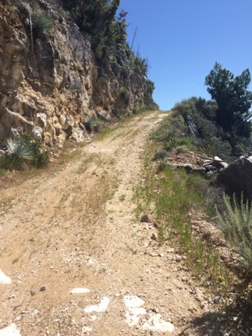
As pictured below, the trail gets really bad and very steep.


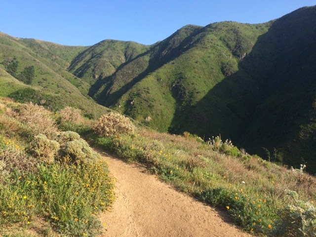
 There may have been a time when I struggled up these hills, but these days I fly up them. My PCT training has been paying off big time, though the real reason I train is to help avoid injury early on the PCT. I just love being out and hiking. After hiking up for a good while, the views start becoming downright filthy.
And I continue to climb towards my destination.

 At this point of the hike, there is a bench with a first class view that about half the people who hike this trail have as their destination. It's a great place to stop, but it's almost always occupied, and many come here for sunsets, full moons, solstices, etc. I think I carved my name in it with my brother many years ago while I was in high school. I passed it and saw a bunch of hikers crowded around a poor gopher snake taking pictures. Poor snake. I continued up and this is where the wind started to howl.


 When I reached the top the wind was just crazy. I've done this hike like a hundred, or many more, times and have never seen it so windy. I put on some layers and started to walk to the other side of the mountain top, checking out all the views along the way.


 I had planned on going a mile further to Dowd Peak, with views of Monterey and even Santa Cruz, but the wind was not only strong, but freezing. Not even joking, It felt like my snot in my nose had frozen. I really need some windproof gloves for the PCT too, because my fingers felt ice cubes and I had a hard time taking pics. Sometimes I go down the backside of the mountain, which descends to a Redwood canyon and a creek. Its a wonderful hike, but I had a date with that sunset, so I started the steep walk down, pushed harder by the biting wind.

 By the time I returned to the highway, the sun was just beginning to set, so I snuggled up to the edge of the world and watched. Another beautiful sunset in the most beautiful place on Earth!